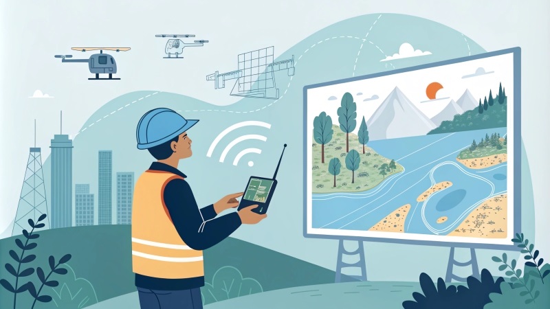
Geospatial Engineer

The geospatial engineer is a specialist in the field of geospatial technologies, dealing with the collection, analysis and interpretation of data related to the Earth’s surface. This profession combines knowledge from geography, engineering, computer science and environmental science to create innovative solutions that help understand and manage geographic space.
The main responsibilities of a geospatial engineer include the use of geographic information systems (GIS), remote sensing technologies, and 3D modeling tools to collect and analyze spatial data. They develop and implement applications that facilitate the visualization of geospatial data, aiding decision-making in various fields such as urban planning, natural resource management, precision agriculture, and environmental protection.
In addition, geospatial engineers frequently collaborate with interdisciplinary teams, including geologists, ecologists, and urban planners, to design solutions that meet current challenges. They must be well versed in specialized software such as ArcGIS, QGIS and other modeling applications, as well as data capture technologies such as drones and global positioning systems (GPS).
The education required to become a geospatial engineer ranges from a bachelor’s degree in geography, engineering, or related fields, to graduate studies. Analytical skills, attention to detail and critical thinking are also essential for success in this profession. With increasing demand for geospatial data-based solutions in industry, geospatial engineers play a crucial role in shaping the planet’s sustainable future.